česky
english

>>Maps >France >Croix du Treve-Bois Ternay

Croix du Treve-Bois Ternay | 1:10 000 | France | 2009-2010
St. Genest-Malifaux, Natural park Pilat, St. Etienne
training map
basemap: ortophoto, IGN 1:25 000

April/May 2009: Ev�en Cigo�, Ivo Hab�n, Lud�k Krti�ka
August/September 2009: Petr Hrani�ka, Zden�k Lenhart, Radim Ondr��ek
April/May 2010: Ev�en Cigo�, Ji�� Dan�k, Ivo Hab�n, Petr Hrani�ka

May 1st 2010 | Ivo Hab�n
Third time we went to St. Genest to finish big mapping project Bois Ternay-Croix du Treve near St. Etienne, France. Since spring last year already seven czech mapmakers has been working there because of different reasons. First time Krtek, Ev�en and me, during last summer Radims, M��a and Rys�k and now again Ev�en, me, Rys�k and Jirka Dan�k, who has a premiere here. First week we started very hard-11 hours of mapping each day. Map was finally finished today and we move tomorrow for the next project-Peillout� hill. We prepare basemaps late night, watchin' Tiomila on web. Thanks to Genvieve for perfect catering during our stay in G�te des Haux Plateaux in La Blache.

Original SHOCart map seems to be good for the first view. The reality in terrain was different. Unbalanced quality, bad contours probably taken without correction from common basemap, some places with deformed directions or not visited. It is clear that the map was made by more mapmakers with different skills. For French conditions of 90's probably good, for today good to leave it in the pocket and make brand new.


More photos spring session 2009
More photos spring session 2010


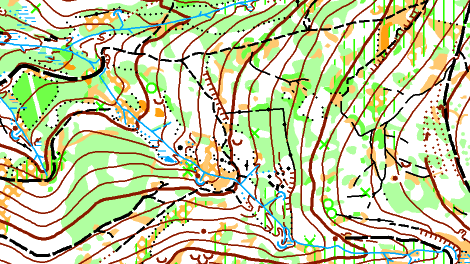
Ivo Hab�n, sample of map, May 2009
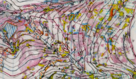

Original drawing by Ivo Hab�n, May 2009
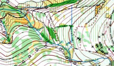

Sample of the old map from 90's made by SHOCart
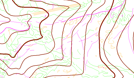

Basemap prepared in ocad
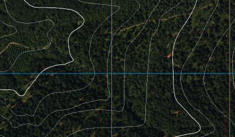

Ortophoto with the contours taken from IGN 1:25 000


Bois Ternay, Zden�k Lenhart, sample of map, September 2009