Ivo Habán, sample of map, May 2009
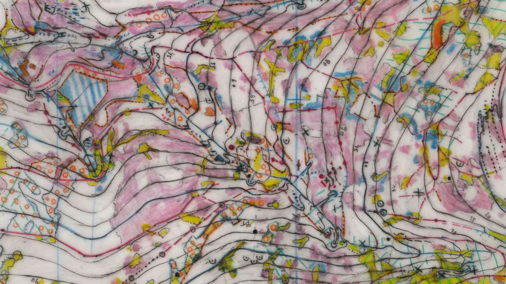
Original drawing by Ivo Habán, May 2009
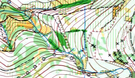
Sample of the old map from 90's made by SHOCart
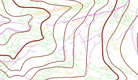
Basemap prepared in ocad
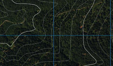
Ortophoto with the contours taken from IGN 1:25 000
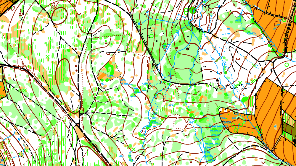
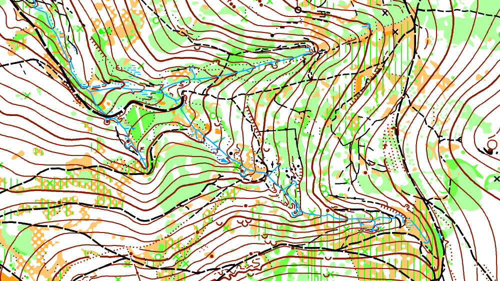
Bois Ternay, Zdeněk Lenhart, sample of map, September 2009